Dataset Catalog
Ground-truth coastal & environmental datasets from Bangladesh and Oman. Free open datasets · premium bulk packages · PMP® QA verified.
 Free Sample
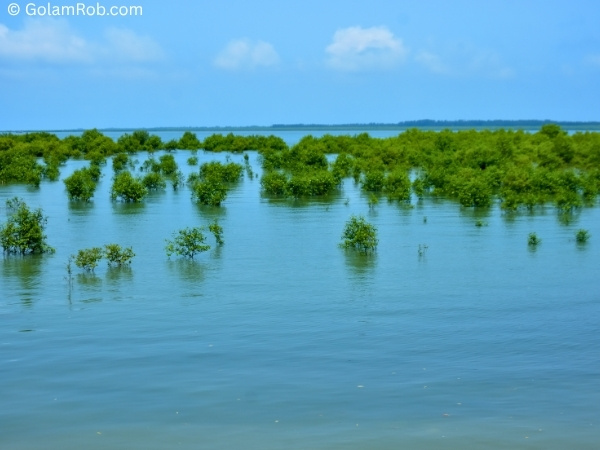
Bakkhali River Delta — Sample
50 high-res images (NEF+JPG) from the Bakkhali River Delta. Includes GPS coordinates and basic metadata.
 Marine
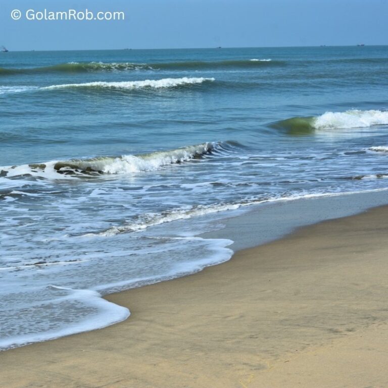
Bay of Bengal — Coastal Dynamics
1,500+ ground images capturing wave patterns, coastal erosion, sedimentation, and fishing activity along the Cox's Bazar coastline.
 Tidal
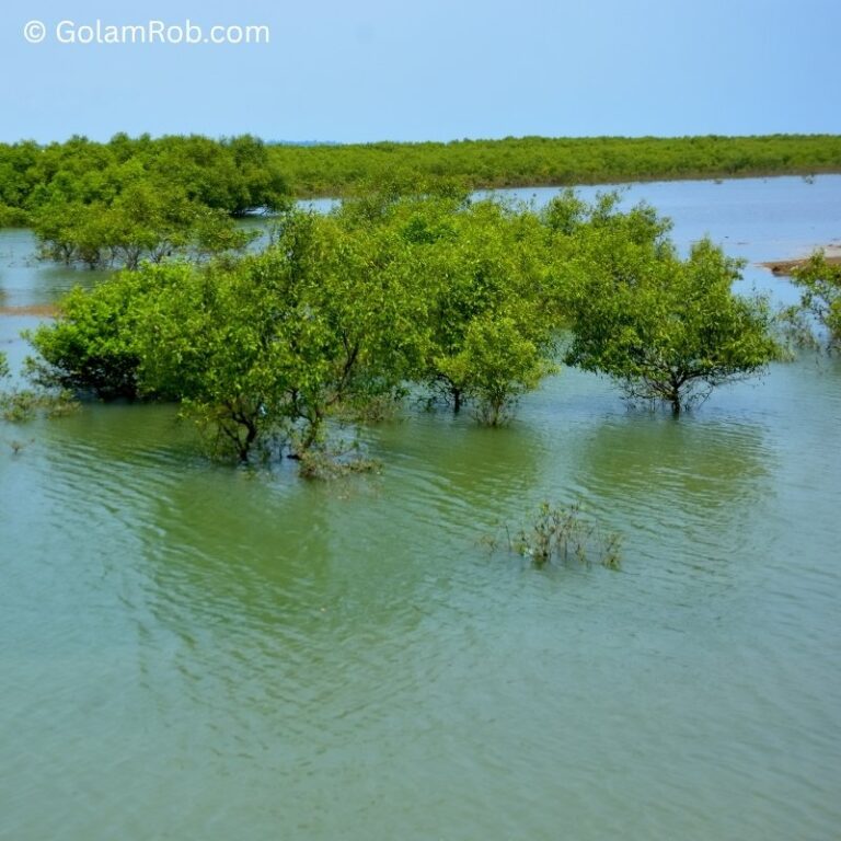
Bakkhali River — Tidal Cycle Pairs
2,000 paired images: same exact location at High Tide vs Low Tide. The only dataset of its kind for hydrological AI and waterline segmentation.
Strait of Hormuz — Coastal Semantic Segmentation
100 geotagged ground-level photos of the Musandam coast, Oman (Strait of Hormuz). 5 classes, COCO + YOLO. CC BY 4.0.
Coastal Multitask 380
379 coastal images for multi-task computer vision from Cox's Bazar, Bangladesh. Open, CC BY 4.0.
Bakkhali River — High vs Low Tide
517 river images capturing high-tide vs low-tide change for waterline & hydrology AI. Open, CC BY 4.0.
Riverside Sunset — Golden Hour
100 golden-hour riverside scenes — warm light, reflections and coastal mood. Open, CC BY 4.0.
Water Hyacinth & Floating Flowers
150 images of water hyacinth and floating flowers on ponds — biodiversity & segmentation. Open, CC BY 4.0.
Bakkhali Estuary — High Tide (Sample)
50-image geotagged sample of the Bakkhali estuary at high tide. Open, CC BY 4.0.
Bakkhali Boat Survey (Sample)
50-image sample of a traditional boat survey along the Bakkhali River. Open, CC BY 4.0.
Khurushkul Pond — Water Lily (Sample)
100-image sample of Khurushkul pond water lilies, Cox's Bazar. Open, CC BY 4.0.
Didn't Find Your Classes?
As a PMP®, I run 30‑day Data Sprints in coastal Bangladesh. You define the objects, locations, and time. My team delivers production‑ready datasets.
Get Your Free Sample Dataset
50 high‑res images from Bakkhali River Delta. Test with your model before buying.
Work email required. Instant download. No spam.